|
For the creative users there are a lot of possibilities:
* Self designed maps, tips and music can be added.
*
In the register you can add information to any city or country. That information
will be shown as any player that uses your device, asks for that city.
*
If you have two or more evenings time, you can give ATLAS11 a totally
different look and content. Maybe your make-over changes the app into a cultural
quiz or a quiz about nature?
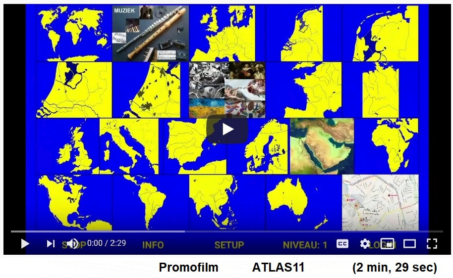
Because the maps are hand-drawn by the author himself, the app can
be very cheap. (€ 2,19) Screen-dumps ATLAS11:
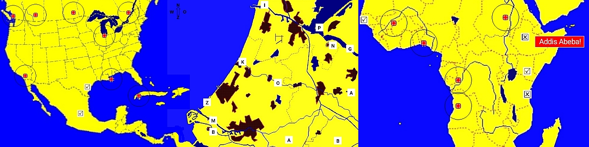
1. On the map of North America we see some touch sensitive circles. The
player pointed to Houston and Mexico City correctly.
2. The map of Randstad Holland (west of Netherlands) The player asked for help and
the first letters are shown. The letter O between Woerden and Aphen
is the Oude Rijn (Old Rhine).
3. On the map of Africa, Dakar (Senegal) and Nairobi (Kenia) are correct,
but Dar es Salaam (Tanzania) and Addis Abeba (Ethiopië) are not.
The app is optimized for a lot of resolutions:
800x480 | 854x480 | 1024x552 | 1024x600 | 1280x720 | 1280x800 | 1340x800 |
1477x831 | 1600x900 | 1745x982 | 1920x1080 | 1920x1200 |
2020x1080 | 2021x1137 | 2133x1200 | 2259x1271 | 2400x1350 | 2743x1543
 |